

Mapping out a long term solution
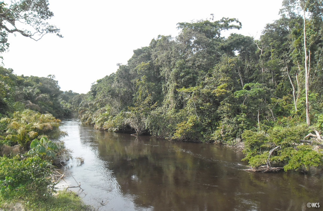
The formal gazettement of the Ogooué-Leketi National Park (OLNP) in south-western Congo is a primary objective of WCS Congo’s Bateke Plateau project. The protection of the OLNP would create a trans boundary protected area of half a million hectares. The area is regarded as a priority site for the protection of great apes, and is of considerable ecological significance due to its location in the forest-savannah transition zone. Forest exploitation in the proposed Ogooué Leketi national park has opened the area to poaching and led to uncontrolled bushmeat hunting. The logging companies have done nothing to help stem the tide of wildlife trafficking and as such the formal protection of this area is an urgent priority.
”The residents of these villages have traditionally used the area for certain basic needs, and still depend to some extent on products collected in the forest of the park. The park management plan must therefore define community use zones within the park, where customary collection rights can be observed.
The logging companies have now been formally requested to leave the area, so a major obstacle to park creation has been removed. But effective protection of the park is not only about policing. Long term management of the area means reaching an agreement on use rights and restrictions with the local communities. There are five villages in close proximity to the park limit. The residents of these villages have traditionally used the area for certain basic needs, and still depend to some extent on products collected in the forest of the park. The park management plan must therefore define community use zones within the park, where customary collection rights can be observed.
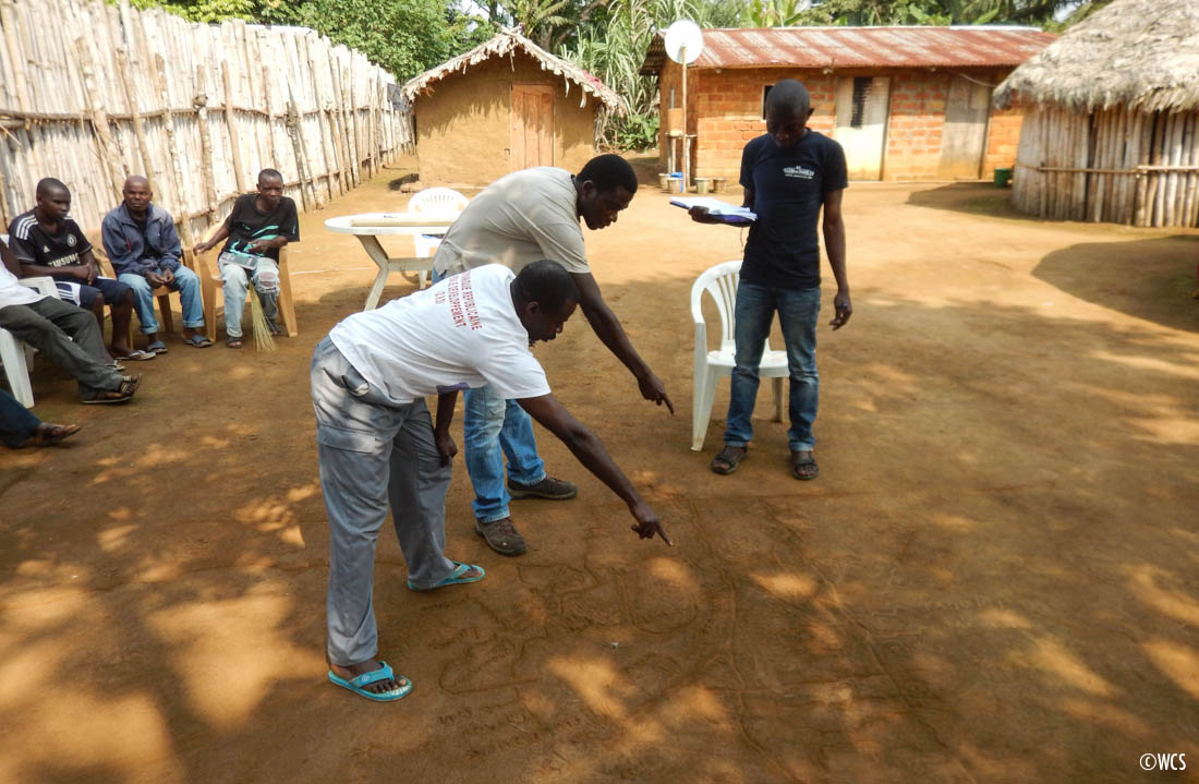
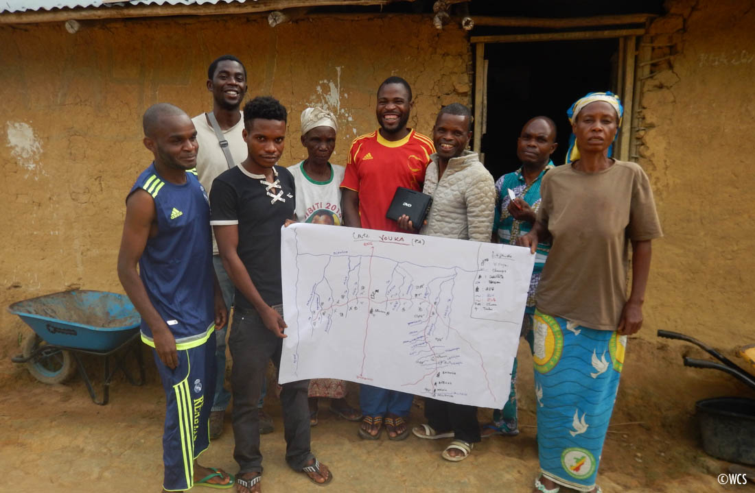
WCS, with support from the USAID’s Central Africa Regional Program for the Environment (CARPE) program, is facilitating a participatory social mapping process in the villages located next to the future boundaries of the Park: Simonbondo, Vouka, Ogooué, Impini and Ontourou. The objective of this approach is to establish the limits of these community use zones (called eco-development zones) and to agree on management rules for these areas. Planning is being done in a participatory manner in order to take into account the traditional uses of natural resources and livelihood activities of the local communities.
Participatory mapping – also called “social mapping” or “community mapping” – is used to map out territories and community uses and/or traditional practices. The local and indigenous forest communities themselves conduct the mapping. This process combines classic mapping tools with a participatory approach methodology. The core principle of participatory mapping lies in the fact that local communities know their surrounding environment better than anyone else. An open and inclusive process with the entire community is the best way to create an accurate map. The higher the number of community participants, the more likely it is to find a viable long-term solution to natural resource management.
The use of this inclusive approach is on going in the areas surrounding the proposed Ogooué Leketi national park with the hope of ensuring conservation planning that is compatible with both livelihoods of the people of this area, and the conservation objectives of the proposed park.
Stephen Barth
Good to see